FINAL HAZARDS REPORT
The most dangerous natural hazards named for Guatemala are volcanic eruptions. Guatemala is a country characterized by diverse landscapes, including mountains and rainforests. Its location between the Caribbean Plate, the North American Plate, and the Cocos Plate makes it all the more prone to significant seismic activity and volcanic eruptions to interact. These tectonic plates intersect at convergent boundaries, particularly where the oceanic Cocos Plate subduct beneath the Caribbean Plate, placing Guatemala within the seismically active "Ring of Fire". Guatemala has several active volcanoes, including Volcán de Fuego, Pacaya, and Santiaguito. These volcanoes are also part of the Central American Volcanic Arc, which is formed by the subduction of the Cocos Plate beneath the Caribbean Plate. Due to the frequency of these eruptions, this poses significant risks to the nearby populations and infrastructures.
The most recent event of volcanic activity in Guatemala was from April 30 to May 7, 2024. According to Volcano Discovery, the dome-shaped volcano Santa Mariá Santiaguito produced block avalanches on the dome's flanks and generated occasional short-range pyroclastic flows and descended multiple flanks, with the ash falls causing hazy conditions. Although the levels of the eruption was not harmful enough, there have been more serious occurrences of other volcanoes, such as Volcán de Fuego, where explosions have been recorded between 3 to 10 per hour, generating gas-and-ash plumes and causing block avalanches as well. The most recent catastrophic event relating to Fuego was in 2018, deeming as the most severe volcanic eruption in 45 years.
Despite Guatemala's wealth of natural resource including fertile soil, mineral deposits, and abundant water, it faces significant environmental challenges due to the frequency of natural disasters. To address these hazards, the following measures I would place for this country includes setting up an advanced alert app or notification system to monitor and detect any seismic and volcanic activities that would provide early warnings to the residents. This would enable timely evacuations and preparations, such as gathering essential supplies like food, water, and medications.
A second measure I would put in place for safety is building infractions that can withstand volcanoes events, such as lava flows. Constructing buildings, rooftops, and bridges specifically would provide more shelters and durable spaces, as well as have an accessible and advanced evacuation routes. This approach would also minimize the need for costly rebuilding efforts after the disasters.
Thirdly, I would create training programs to help educate the communities regarding to volcanic hazards. Bringing more awareness to help understand volcanoes and its activities will not only help them prepare for future eruptions, but will reduce their health problems following the volcanic activites. Certain training programs I have in mind is having specific supplies and equipments in case of emergencies. These include radios, electronic maps, multitools, whistles, and first aid emergency kits. Since volcanoes can get explosive, ashes, such as pyroclastic debris can eject and when inhaled, will cause serious damage to the respiratory system. Face protectors such as masks or eye goggles can be provided in bulks so that everyone has one and can protect their health. If I really had unlimited money resources, I would want to provide all of these equipment and emergency kits to each individuals so that everyone is prepared for any volcanic events.
The most areas at risk are generally in locations that are around volcanoes and downslopes toward the coastal plain. As an example, Volcán de Fuego from 2018 buried several communities, and completely destroyed the village of San Miguel Los Lotes and El Rodeo. Areas that is most prone and vulnerable, such as San Miguel Los Lotes would be where I would target help first. Many lives were lost on that particular day, and many victims were also found near their homes, indicating that they did not have time to flee once the volcano erupted. Fuego resulted leaving at least 75 dead and over 200 people missing.
San Miguel Los Lotes

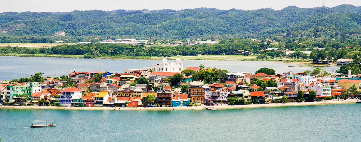
Flores (Petén Department)

Puerto Barrios (Izabal Department)


Comments
Post a Comment